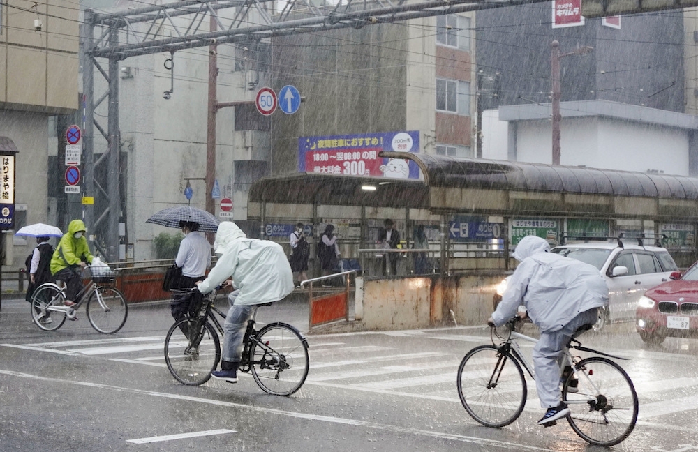
TOKYO, June 2 — Parts of Japan were slammed by torrential rain today as Typhoon Mawar neared, bringing winds and heavy rain to a wide swathe of the country and prompting authorities to advise tens of thousands to evacuate.
Mawar, which wreaked havoc on Guam earlier this week, has weakened to tropical storm strength from its earlier super typhoon status, and the main body of the storm was expected to pass south of the main island of Honshu as it moved into the Pacific.
But forecasters warned there was the danger that humid air from the typhoon could feed into a seasonal rain front, touching off heavy localised rains.
Similar weather patterns have caused flooding and landslides in the past, most notably in the summer of 2018, when more than 200 people were killed in western Japan.
The Japan Meteorological Agency issued flood warnings for the Okinawa island chain and parts of Shikoku and Honshu islands, with forecasts of 350 millimetres (13.8 inches) of rain in parts of western Honshu in the 24 hours up to Saturday morning.
Parts of Shikoku were hit by 162.5 mm (6.4 inches) of rain in the three hours to 900 a.m. (2400 GMT), nearly half of that in one hour, NHK public broadcaster said, prompting warnings of landslides.
Around 27,000 people were advised to evacuate in Toyohashi, a city in central Honshu. Evacuation advisories were also issued in parts of Shikoku.
A number of flights to parts of the Okinawa island chain were cancelled but there were no other reports of major transportation snarls as of Friday morning. — Reuters


