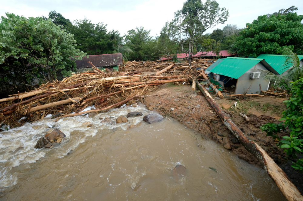
KUALA LUMPUR, Aug 19 — The water surge incident in Yan yesterday was mainly due to the extreme and high intensity of rainfall over the mountain stream and the peak area of Gunung Jerai, according to Malaysian Meteorological Department (MetMalaysia) director-general Muhammad Helmi Abdullah.
He said as the velocity of the stream increases downstream, tree roots or water catchment areas were not able to accommodate or hold the water to be absorbed into the soil, causing the water to flow in a turbulent manner.
Heavy rains and thunderstorms which occurred over several areas in Kedah, including Yan yesterday, were due to the reception of northwest wind waves with high humidity from the Andaman Sea.
“This contributes to the formation of active clouds in the area,” he told Bernama, when contacted.
The incident caused floods in several villages and residential areas and had so far, claimed four lives.
Muhammad Helmi said the humid weather and heavy rain were expected to persist throughout this week.
He said Malaysia is currently in the South-west Monsoon period which started on May 19 and was expected to end in the second or third week of September.
“During this period, the atmospheric conditions in the region are usually stable with low humidity resulting in less formation of rain clouds and contributing to low rainfall distribution.
“However, it is common for the country to experience a monsoon break,” he said, adding that the monsoon break is when the monsoon wind changes direction and encourages the formation of a large amount of clouds that have high humidity levels. — Bernama


