MIAMI, Aug 30 — Hurricane Dorian is expected suck powerful fuel from the warm waters off the Florida coast, swelling into a dangerous Category 4 storm in the coming days before it slams into the state early next week, forecasts showed today.
The Miami-based National Hurricane Center issued a hurricane watch for north-western Bahamas today and said the risk of “devastating hurricane-force winds along the Florida east coast late this weekend and early next week continues to increase.”
The storm began today over the Atlantic at Category 2 but was already expected to reach Category 3 later in the day, with sustained winds of at least 111 mpg (178km/h).
The entire state of Florida is under a declaration of emergency and Governor Ron DeSantis activated 2,500 National Guard troops with another 1,500 on standby.
Forecasters predict the storm growing more ferocious as it slows its advance across the warm waters near the coast, striking land late on Monday or early Tuesday. Tropical storm winds could be felt in Florida as soon as Saturday evening.
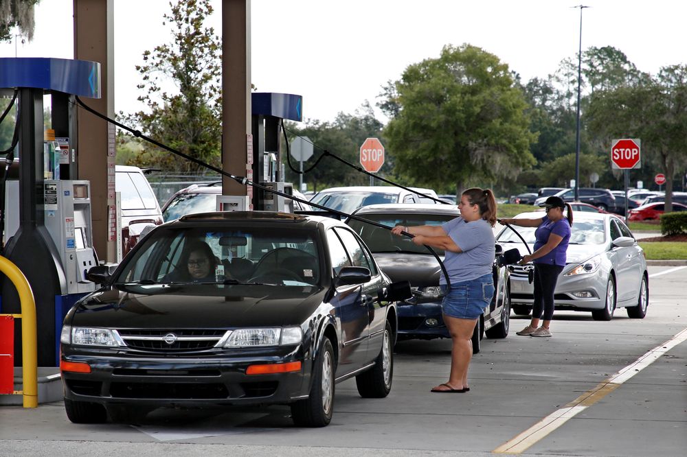
No evacuations were ordered as of early today, but many are expected as the storm’s path become clearer before it makes landfall.
If, as expected, it reaches Category 4 by Sunday, its winds will blow at more than 130 mph. Its 12 mph (9 kph) march across the map could slow down to a 4 mph crawl. The slower it moves, the more time it has to draw fuel from the warm seas.
Recent weather models from the National Hurricane Center show it smacking into the centre of the state. It was trending slightly south in the latest advisory issued at 5am today.
It could roll inland towards Orlando on Tuesday or early Wednesday, weakening as it moves away from the sea. Other NHC weather models show it tracking south toward Miami before it hits the peninsula, or heading north to the Georgia coast.
Along with the dangerous winds, the storm is expected to drop 5-to-10 inches of rain on the state, with some areas getting as much as 15 inches.
“This rainfall may cause life-threatening flash floods,” NHC forecasters said.
President Donald Trump cancelled a planned trip to Poland, sending Vice President Mike Pence in his place, so he can make sure resources are properly directed for the storm.
“Now it’s looking like it could be an absolute monster,” Trump said in a video posted on Twitter, adding that food and water was being shipped to Florida.
DeSantis said that Floridians need to take the storm seriously.
“Hurricane #Dorian is moving slowly & gaining strength,” DeSantis wrote on Twitter. “Now is the time to get prepared & have a plan.”
Georgia Governor Brian Kemp declared a state of emergency in 12 counties to assist with storm readiness, response and recovery.
‘Not looking good’
Angela Johnson, a 39-year-old bar manager in South Florida, said yesterday: “We’re worried. This is not looking good for us.”
“We woke up a lot more scared than we went to bed last night, and the news is not getting any better,” said Johnson, who manages Coconuts On The Beach, a bar and restaurant on the surfing beach in the town of Cocoa Beach.
Officials were making piles of sand available for Cocoa Beach residents to fill sandbags starting today.
Dorian could churn across dozens of launchpads owned by Nasa, the US Air Force and companies such as Elon Musk’s SpaceX and Jeff Bezos’ Blue Origin. — Reuters


