KUALA LUMPUR, Jan 31 — Several states on the west coast of the Peninsula as well Sabah and Sarawak could possibly experience landspouts (mini tornados) similar to the one that struck Ipoh yesterday.
Malaysian Meteorological Department (MetMalaysia) Centre for Meteorological Instrumentation and Atmospheric Science senior director Ambun Dindang said Kedah, Penang, Perak, Selangor, Melaka and Negri Sembilan were among them.
He said they also tend to strike coastal areas such as in Bintulu, Miri in Sarawak, Labuan and Western Sabah.
“These are areas where such incidences have occurred before and could experience again, that is with the right weather conditions (the presence of cumulonimbus clouds),” he said when contacted by Bernama.
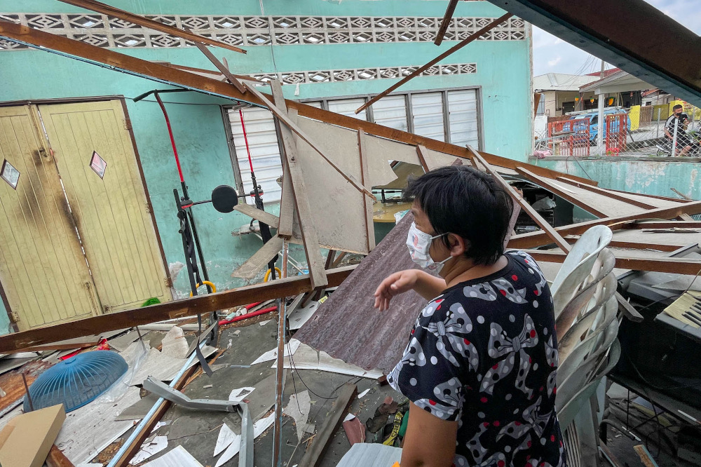
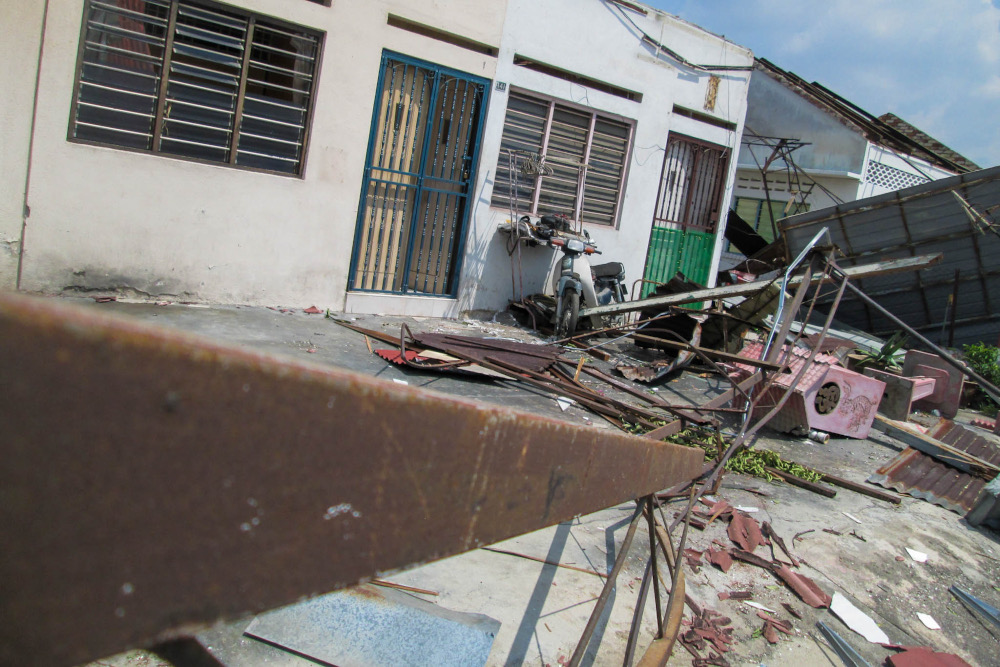
Yesterday, landspouts wreaked havoc in Ipoh, resulting in hundreds of homes suffering extensive property damage.
He said large-sized cumulonimbus clouds lead to strong convection that forms funnel clouds at the cumulonimbus cloud base, which in turn causes a strong wind shear to form a landspout.
“This is what happened in Perak yesterday, we detected large cumulonimbus clouds in the Kinta area that caused landspouts to hit.
“The tornados that occur in Malaysia are usually clouds that protrude from the base of the cumulonimbus cloud, it is like a cloud funnel, (and) that is what causes damage as winds that protrude downwards twist and turn,” he said.
Ambun said it was rather challenging for MetMalaysia to forecast landspouts as they tend to occur on a smaller scale and have short lifespans.
“A tornado as small as this has short lifespans, an hour at the most. Such a short time for observation makes it difficult to forecast, but we can monitor cumulonimbus clouds through radar images that are available throughout Malaysia,” he said.
He said among the early signs that a tornado might strike is the formation of large clouds and dark base clouds as well as cloud funnels protruding downwards, and advised the public to seek refuge in safer areas if their locations are hit. — Bernama